Santa Fe National Forest Scenic Byway

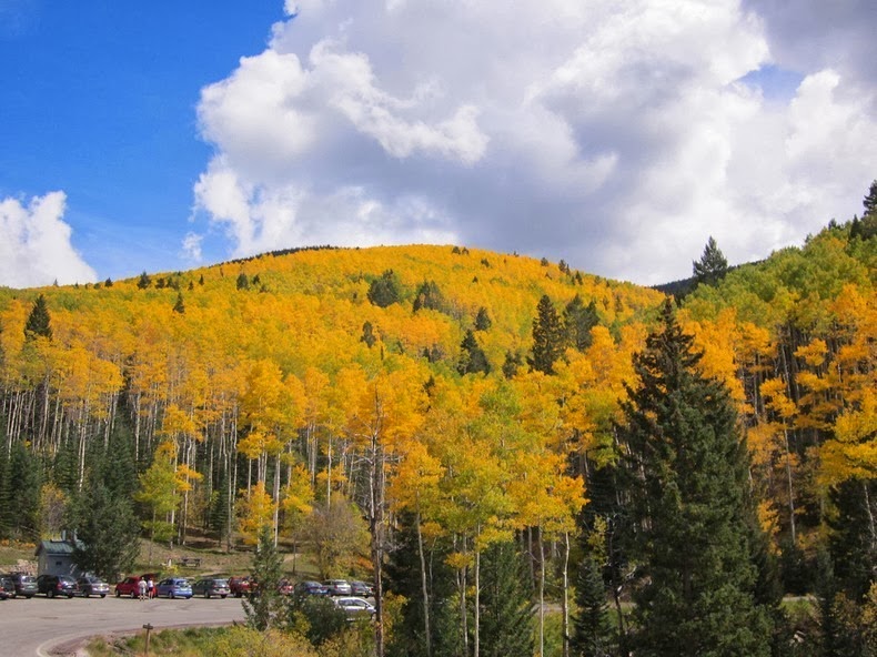
The Santa Fe National Forest Scenic Byway is a dramatic 16-mile drive from the center of historic Santa Fe to the Santa Fe Ski Area through the high valley of the Sangre de Cristo Mountains, in New Mexico. This drive is most scenic in autumn when the aspen colors are in full effect.
Above Photo credit
The Santa Fe Trail was opened by the Spaniards at the end of the 18th century to take advantage of new trade opportunities with Mexico which had just won independence from Spain in the Mexican War of Independence. The trail was used to haul manufactured goods from the state of Missouri in the United States to Santa Fe, which was in the northern Mexican state of Nuevo, Mexico. The trail saw its heaviest use between the 1820s and 1870s.
After the U.S. acquisition of the Southwest, the trail helped open the region to U.S. economic development and settlement, playing a vital role in the expansion of the U.S. into the lands it had acquired. The road route is commemorated today by the National Park Service as the Santa Fe National Historic Trail, and the 16-mile stretch of the route that roughly follows the trail's path through the entire length of Kansas, the southeast corner of Colorado and northern New Mexico has been designated as the Santa Fe Trail National Scenic Byway.
There are many great stops on the way. Vista Grande Overlook, near the top of the byway, has spectacular views of the Rio Grande Valley between the Jemez Mountains to the West and the Sangre de Cristos. The cities of Santa Fe, Los Alamos, White Rock, and on clear days, even Albuquerque are visible form this vista. Big Tesuque and Aspen Vista both have great views of the fall foliage. In addition to great views there are also a number of campgrounds and picnic areas along the way.
Santa Fe National Forest Scenic Byway

Santa Fe National Forest Scenic Byway

Santa Fe National Forest Scenic Byway

Santa Fe National Forest Scenic Byway

Sources: Wikipedia, USDA, Weather.com,

No comments:
Post a Comment
Note: only a member of this blog may post a comment.